| Date | Event | EPA AIRNOW MAP | 1-Hour AirNow Avg Map, or Nat'l Atlas Bird Map | PubDate |
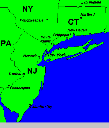
| 7/1/00 | 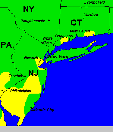 |
|||
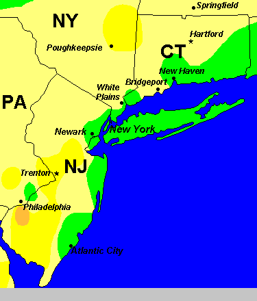
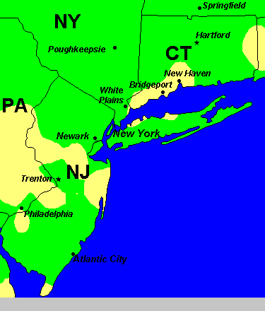
| 7/2/00 | 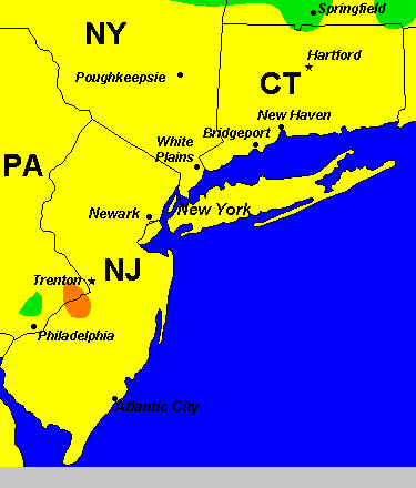 |
|||
| 7/3/00 | 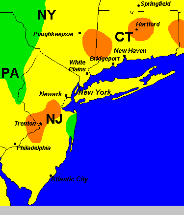 |
|||
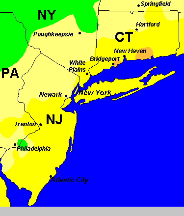
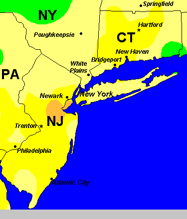
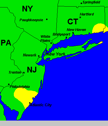
| 7/4/00 | 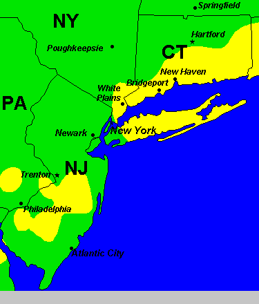 |
|||
| 7/5/00 | 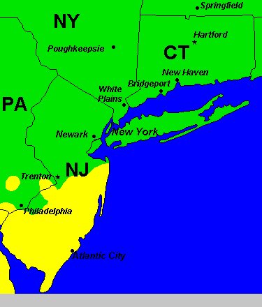 |
|||
| 7/6/00 |  |
|||
| 7/7/00 |  |
 |
||
| 7/8/00 | 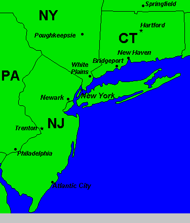 |
|||
| 7/9/00 | 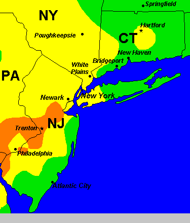 |
|||
| 7/10/00 | 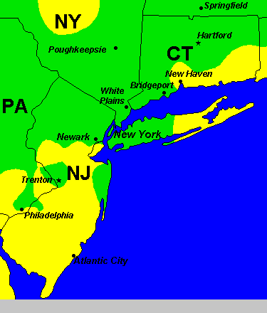 |
|||
| 7/11/00 |  |
|||
| 7/12/00 | 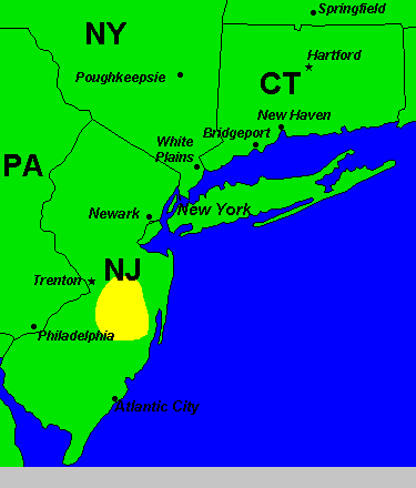 |
|||
| 7/13/00 | 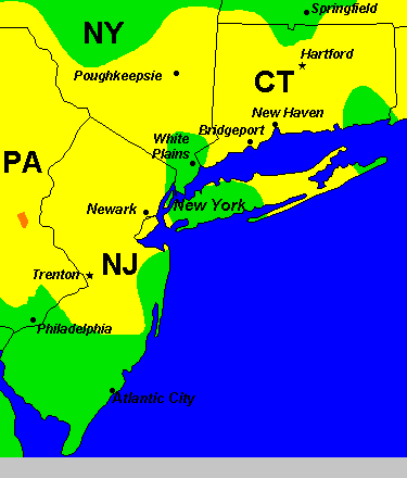 |
|||
| 7/14/00 |  |
 |
||
| 7/15/00 |  |
|||
| 7/16/00 |  |
|||
| 7/17/00 | 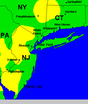 |
 |
||
| 7/18/00 | 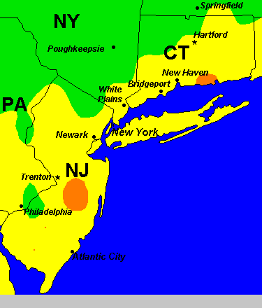 |
 |
||
| 7/19/00 |  |
 |
||
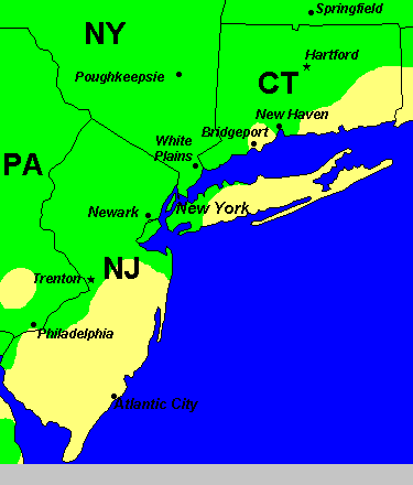
| 7/20/00 | "The individual became ill with symptoms of meningo-encephalitis (fever, dizziness, light-headedness) on July 20, and was admitted to a local hospital on July 22. After one week in the hospital, the patient was released and is now at home recovering." |  |
 |
NYCDOH pr69-804 |
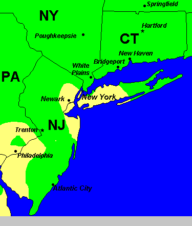
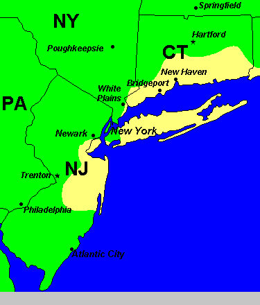
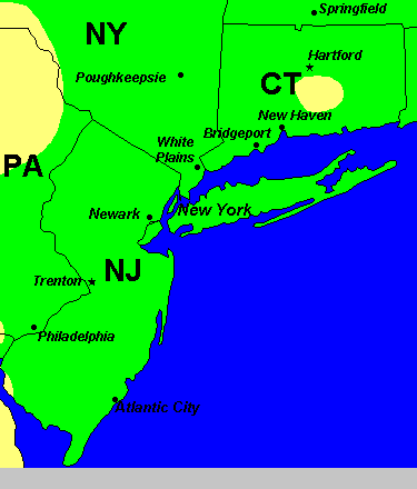
| 7/21/00 | New Jersey industries hit south Staten Island with high levels of ozone. | 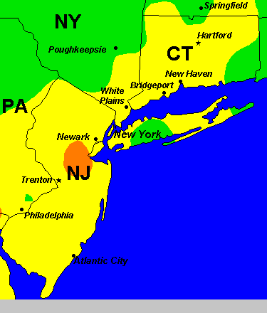 |
 |
|
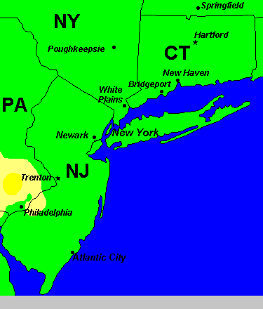
| 7/22/00 | Similar to the Middlesex study: No time for virus "incubation", between the toxic event and the encephalitis disease. A resident of south Staten Island, a 78 year old man, admitted to Staten Island Hospital (zip10305, in NE Staten Island). Later found to be WNV positive. |
 |
 |
NYCDOH 8/4/00 |
| 7/23/00 |  |
 |
||
| 7/24/00 | 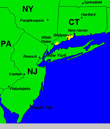 |
 |
||
| 7/25/00 |  |
 |
||
| 7/26/00 |  |
 |
||
| 7/27/00 |  |
 |
||
| 7/28/00 |  |
 |
||
| 7/29/00 |  |
 |
||
| 7/30/00 |  |
 |
||
| 7/31/00 |  |
 |